Floods Strike Again: A Case For Land Conservation

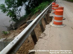
The Summer of 2013 began with floods, washouts, and landslides across the Driftless Area, destroying roadways and inundating homes in Wisconsin, Iowa, and Minnesota. These events bring significant losses and make dramatic news, but they are not new. To the contrary, the Driftless Area’s rugged landscape owes its very existence to millions of years of erosion by floodwater, and that erosion is an ongoing process. Widespread human construction, by contrast, is a recent development in this environment. The repeated rains and landslides of the last decade make clear that communities in the Driftless Area must plan their land use for the inevitable occurrence of further flooding and erosion.
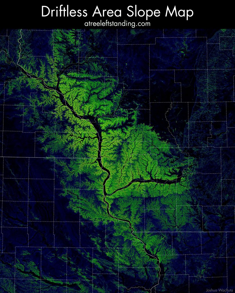
The Driftless Area is prone to flash-floods and landslides in part because of its unique topography, which has a higher degree of slope than surrounding regions. The following map (view map at high-resolution) is colored by slope to highlight this distinction, with steeper hillsides shaded more brightly than level land. The Driftless Area stands out immediately as the bright swath across the center of the map:

The steep terrain of the Driftless Area increases the speed at which run-off collects into drainage channels, ordinarily an advantage, as it dries uplands quickly and prevents water from pooling into stagnant ponds and bogs. During heavy rains, however, water collects more rapidly than some narrow channels can accommodate, leading to sudden flash floods that erode banks and scour new channels. In the meantime, the saturated hillsides — especially those with inadequate vegetation — lose strength and give way, leading to landslides. These are the very processes that created the jagged valleys and steep slopes of the Driftless Area, a landscape forged in unison with running water.